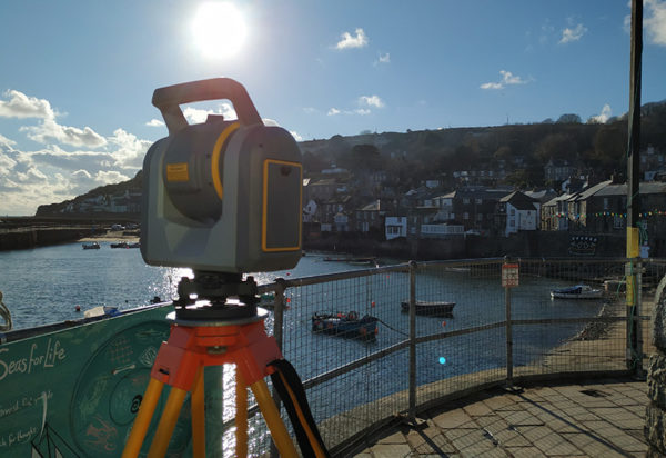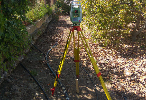
The incorporation of the laser scanner in topography provides a great advance in the acquisition and treatment of the points.
Why using 3d laser scanner?
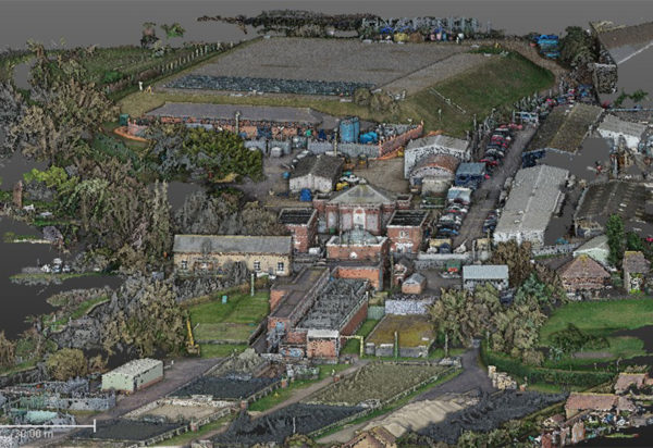
Data collection is made more efficiently due to the short time that it involves. The level of information and the clarity of visualization make the point clouds derived from the laser scanner a powerful tool for topography and engineering.
What do we offer?
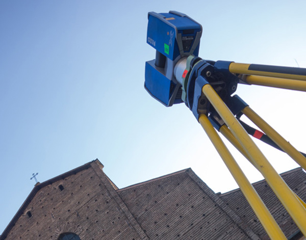
Data collection
We offer a fast data collection thanks to the efficiency of our equipment and staff, fully integrated with topography and georeferencing.
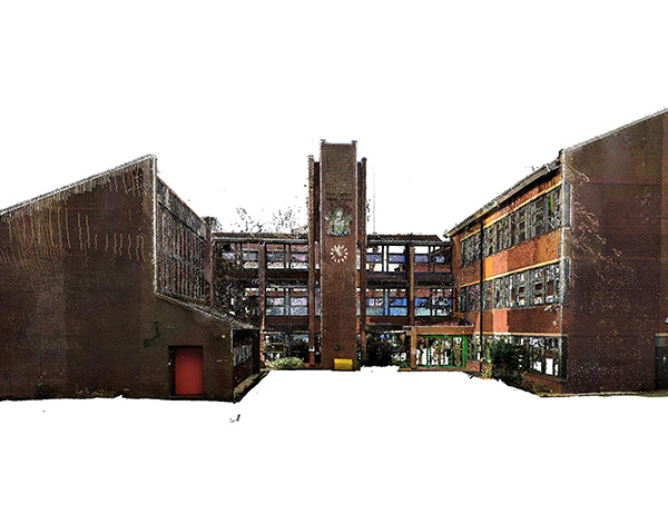
Registration and creation of point clouds
We register and create the point cloud coming from the data capture from the laser scanner, fully georeferenced in the space.
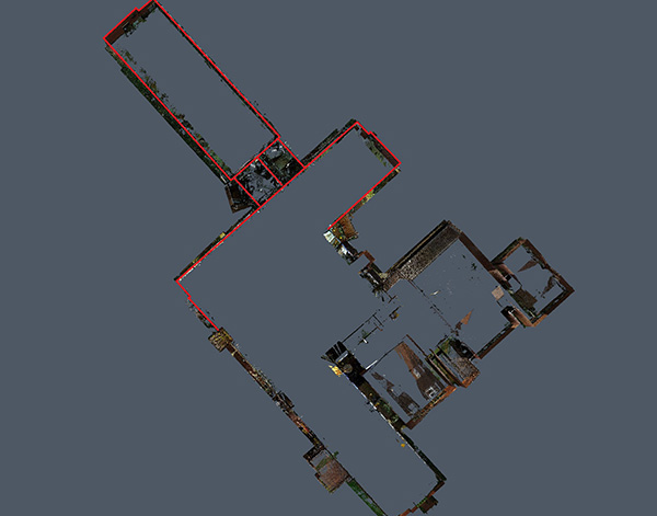
MDT and plans generation
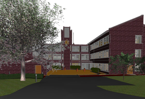
We generate the digital model of the land and the plans, both plan and profile, as well as sections of edification.

Fault and architectural heritage analysis
We study and analyse the faults of any building, commercial, residential or architectural heritage.