The data collection through photogrammetry using drones, makes this technique a great tool due to its swift action, accuracy, accessibility to difficult access areas and minimal intrusion in the environment.
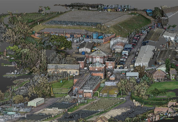
In the same way, we get a 3D point cloud coming from the data capture, which makes easier the treatment of the data thanks to the excellent visualization that the point cloud gives us.
That is why, in Ingeo3D we bet heavily for this method.
What do we offer?
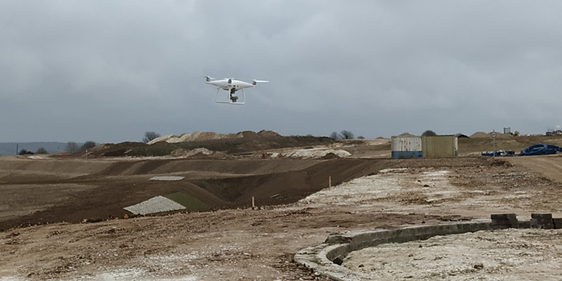
Topographic surveys with drones
We use drones to make topographic surveys to improve, in this way, the work efficiency. Every flight is backed with classic high precision topography to get the good georeference.
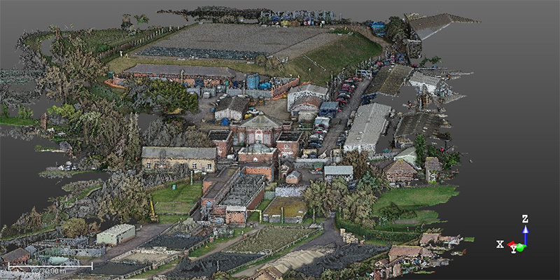
Point cloud
We create and register the data of the photogrammetric flight getting a georeferenced point cloud, which let us visualize and work the land in an easy and efficient way. At the same time, a 3D mesh of the area is created.
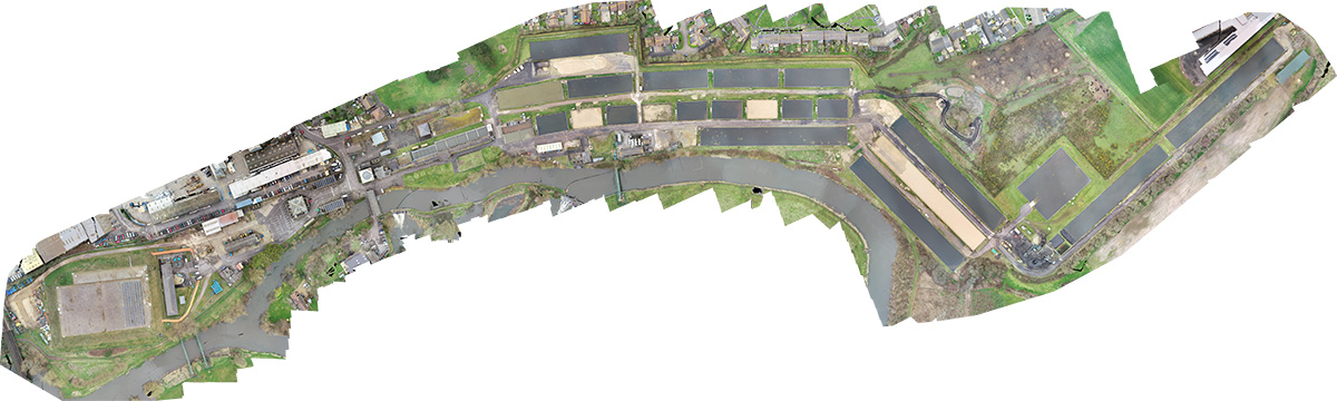
Creation of Orthophotos
We create high quality orthophotography, as well as landscape photography and videos.